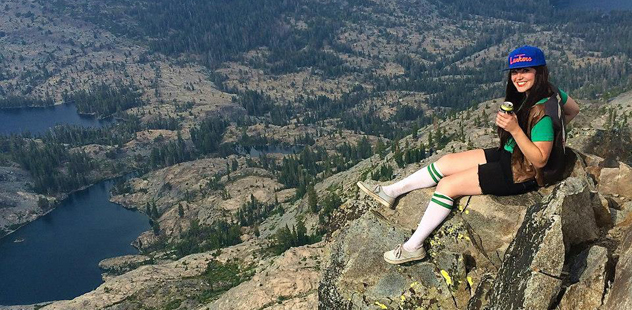
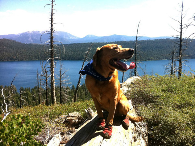
 Photos by Telegraph Hiking Club
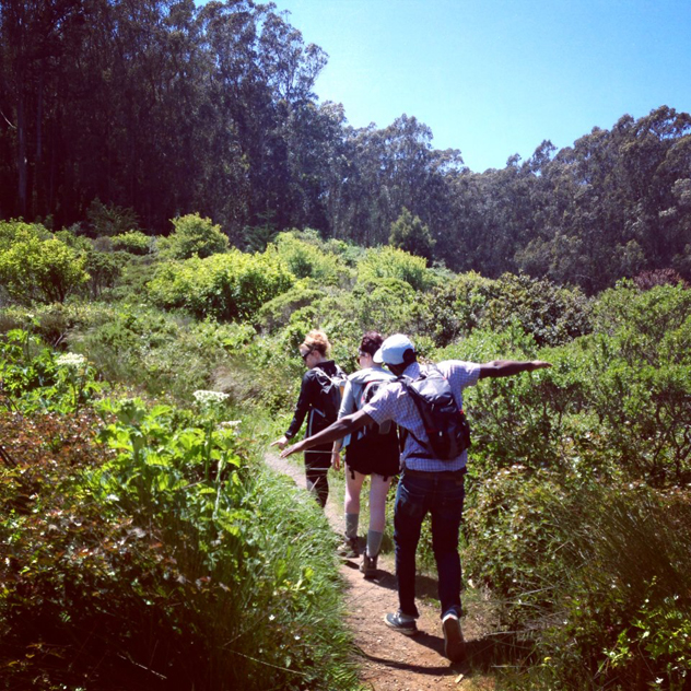
California is one of the most geologically diverse places in the world, and Sacramento is in the center of it all! There are endless places to explore close to home. To get you started, we’ve put together a good range of easy to difficult hikes, both east and west of Sacramento, and all within a couple hours’ drive. Of course, you’ll want to further research your trip ahead of time and be prepared by packing appropriately. Below are some ideas to get your wheels turning. Special note: The stats provided below have been culled from some great online hiking resources such as Everytrail.com, Eastbaytrails.com, Summitpost.org and Tahoebackcountry.net as well as, most importantly, personal experience from getting out there and walking those trails. Distance ain’t nothing but a number. Get out there and hike! Happy trails!
San Bruno Mountain
Mileage: 3.5 miles via the Summit Loop Trail
Elevation gain: 500 feet
Summit elevation: 1,314 feet
Difficulty rating: easy
Driving distance from Sacramento: about 95 miles west
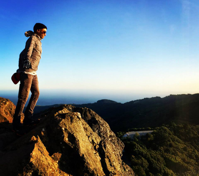
The lowdown: This hike is a get in/get out breeze, at the top of which await old, dilapidated radio transmitters and a Nike Missile launch site, as well as panoramic views of San Francisco, Mount Diablo and Mount Tam. From the parking lot, the trail leads through chaparral and seasonal wildflowers and meanders gently to the top, which you’ll reach hella quick, affording you time to frolic around or whatever it is you do on a mountaintop. San Francisco and all its rad bars are a short drive from the trailhead—offering lots of great choices for your post-summit watering hole.
Mount Diablo
Mileage: 6.2 miles via the Grand Loop
Elevation gain: 700 feet
Summit elevation: 3,849 feet
Difficulty rating: easy to moderate
Driving distance from Sacramento: about 85 miles southwest
The lowdown: Although you can park a quarter mile from the top, why do that when you can get a great workout and circumnavigate this awesome mountain, exploring its vegetation, geology, and surrounding views? We suggest the Grand Loop as your route to the summit, which is crowned with obsolete radio transmitters that used to talk to Sutro Tower in San Francisco. Mount Diablo is the tallest mountain in its vicinity, providing clear 360 degree views of the Bay Area.
Mount Tamalpais
Mileage: 15.4 miles via Stinson Beach
Elevation gain: 1,500 feet
Summit elevation: 2,571 feet
Difficulty rating: easy to moderate
Driving distance from Sacramento: about 102 miles west
The lowdown: There’s myriad ways to the top of Mount Tam, but we like to start at Stinson Beach. Although it will be difficult to not just plop yourself into the sand and gaze at the ocean, keep going past a gate that will lead you to the Matt Davis trailhead. The trail snakes ever closer to the top while sweeping views of the ocean dazzle you at every turn. On the top of Mount Tam is a fire lookout, on the stoop of which you can sip on your summit beer and take selfies (or climb around its boulders). Take the Steep Ravine trail route back down to see a lush redwood forest, laced with babbling brooks and bridges. This is another summit with a parking lot right near the top, allowing you to be a total lazy ass peak bagger or cut the long trip in half by way of leaving a second car in the near-summit parking lot.
Pyramid Peak
Mileage: 7.4 miles via Rocky Canyon/Southeast Ridge
Elevation gain: 4,083 feet
Summit elevation: 9,984 feet
Difficulty rating: difficult
Driving distance from Sacramento: about 80 miles east
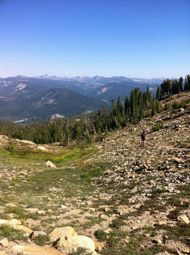
The lowdown: Easily visible from Sacramento on those clear days when you can see all the way to the glorious snow-capped Sierras, this massive mountain is a hard-won peak to bag. Climbing through a lovely coniferous forest and rambling meadows, your thighs will feel like they’re on fire while your eyes stay fixed on what you believe to be the prize. After arduously bouldering to what you think is the top, you will arrive at—gasp—a false summit. You’ll shake your fists in the air, lumber to the real top (aptly named for its pyramid shape made of sketchy talus), and at long last, enjoy an unbeatable eyeful of the grandeur of Desolation Wilderness.
Mount Ralston
Mileage: 7 miles
Elevation gain: 2,735 feet
Difficulty rating: moderate to difficult
Driving distance from Sacramento: about 88 miles east
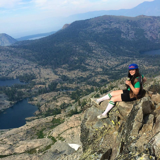
The lowdown: A real booty-blaster but to a lesser degree than Pyramid, this trail similarly leads through a gorgeous pine forest peppered with glacial erratics and delicate alpine meadows past tree line. Then, the final ascent has you huffing and puffing up steeply inclined talus until you reach your granite throne! The view of Lake Tahoe and the surrounding stone wonderland is worth the hard work, and is a place we like to call CHURCH!
Pacific Crest Trail: Donner Pass to Benson Hut
Mileage: 5.5 miles to Benson Hut via PCT/Donner Pass
Elevation gain: 1,800 feet to Benson Hut
Difficulty rating: moderate to difficult
Driving distance from Sacramento: about 100 miles east
The lowdown: A great hike whether or not you are able to snag a reservation overnight at the Sierra Club-managed Benson Hut. But how we like to do it is to hike to the hut from Donner Pass along the world famous PCT, spend the night in the shadow of Anderson Peak in the magical backcountry dwelling, then bag Granite Chief and Tinker’s Knob on your way to the Squaw Valley Tram, where you’ll bum a ride down to the parking lot (you’ll need a car parked at both trailheads). On the way, you’ll pass through places that will make you want to have a The Sound of Music moment, twirling and singing in the flowers, no matter how hard you are.
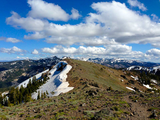
Pacific Crest Trail: Mount Judah Loop and Donner Peak
Mileage: 5.5 miles
Elevation gain: 1,700 feet
Summit elevation: Donner Peak: 8,019 feet; Mount Judah: 8,243 feet
Difficulty rating: moderate
Driving distance from Sacramento: about 91 miles east
The lowdown: This is one of our favorite high country quick and dirty hikes. The Mount Judah Loop affords not only 2 miles on the famed PCT but two-for-one peak bagging with stunning views of Donner Lake and the surrounding Sierras. The first mile follows switchbacks along the PCT, then breaks left to Donner and Judah peaks. The Summer trail use paths are easy to follow but the trail often has snow in early summer and can be a true backcountry adventure. (Call Sugar Bowl to check trail conditions in the early season.) Don’t forget your summit beer and a sweater, it can be chilly in the high country even in the summer months.
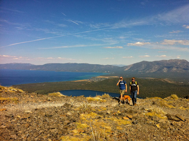
Mount Tallac
Mileage: 9.6 miles
Elevation gain: 3,255 feet
Difficulty rating: difficult
Summit elevation: 9,735 feet
Driving distance from Sacramento: about 105 miles east
The lowdown: Mount Tallac is a true beast of a mountain that towers over the Lake Tahoe basin. The hike enters Desolation Wilderness and does require a free day-use permit that “may” be found at the trailhead. Permits are often out. We recommend a visit to a local ranger station to get a good map and a stack of permits for you car, cause you will surely be back! The hike starts near Camp Richardson and follows along the ridge above Fallen Leaf Lake. You’ll pass Cathedral Lake—enjoy the view and take a break at the lake, because the real work is about to begin. Mile three has a heart pounding 1400’ of elevation gain. Once you reach the ridgeline you are hiking into a FALSE SUMMIT. Power past it, for soon the real Tallac Peak enters your view. The heart-wrenching final half-mile pays off in spades with unforgettable views of the Sierra Nevada and major trail cred.
**This article first appeared in print on pages 24 – 25 of issue #188 (May 25 – June 8, 2015)**

Comments